The Phillimore Atlas and Index of Parish Registers - Hardback Book
Description
This guide to parish registers, now in its third edition, and covering England, Scotland and Wales, is a vital, time-saving tool that has become universally known as 'the genealogist's bible'.
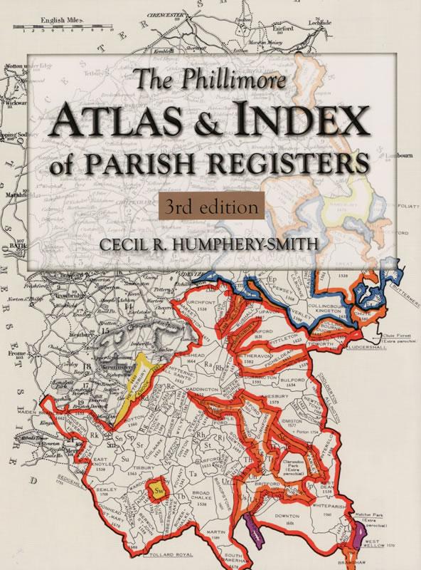
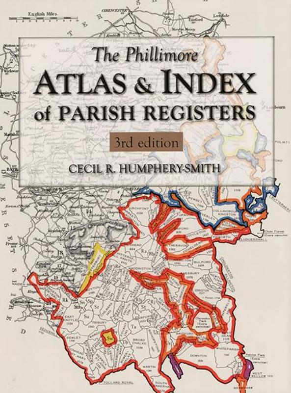
The Atlas includes the famous county 'parish' maps, which show pre-1832 parochial boundaries, colour-coded probate jurisdictions, starting dates of surviving registers, and churches and chapels, where relevant.
Topographical maps face each 'parish' map, and show the contemporary road system and other local features, to help deduce the likely movement of people beyond the searcher's starting point.
The Index lists the parishes, with grid references to the county maps. It indicates the present whereabouts of original registers and copies, and whether a parish is included in other indexes. It also gives registration districts and census information.
Thus, in this invaluable guide, the user may quickly find answers to such questions as: Have the registers been deposited? Where may they be found? What outside dates do they cover? Have they been copied or indexed and by whom?
The main improvements in the 3rd edition are:
The Atlas has been digitised, and is therefore much better printed.
The Index has been updated to 2003 (from 1994).
The Index has 'lost' two columns of obscure indexes, in place of which details of census indexes and registration districts are included.