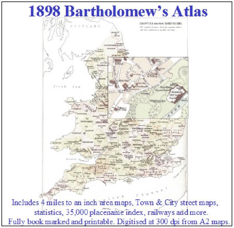
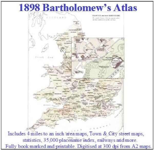
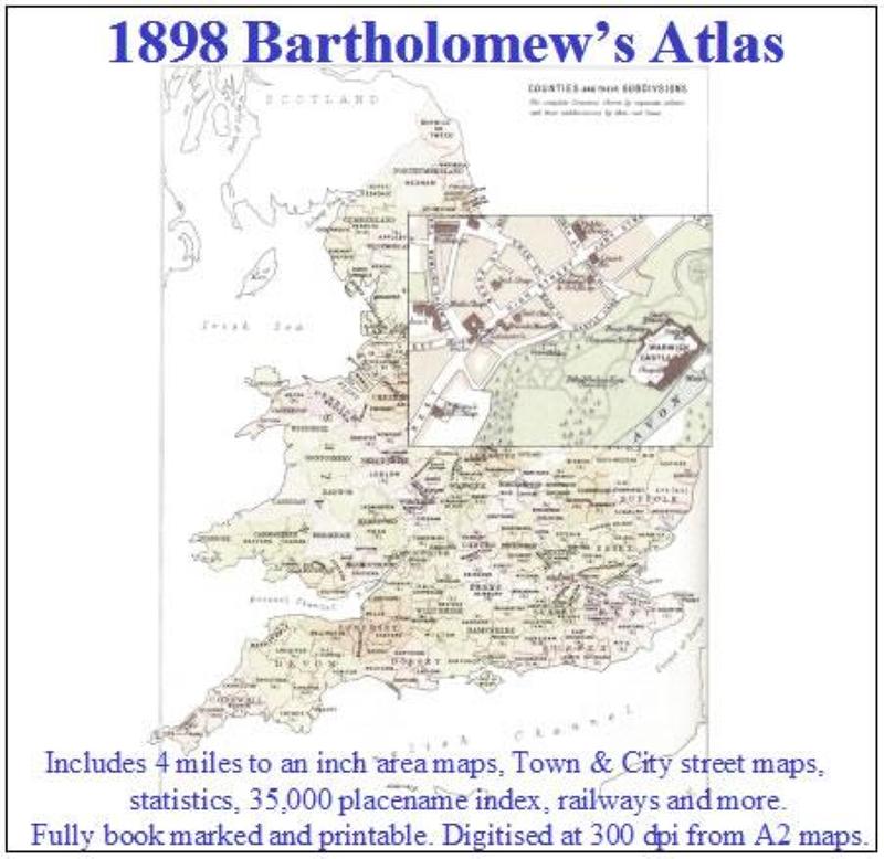
1898 Royal Atlas of England and Wales (edited by J.G. Bartholomew)
Description
A complete series of topographical maps, physical and statistical charts, town plans, and index of 35,000 names (England and Wales - includes City street maps showing locations no longer in existence through development and bombing in World War II).